JOIN GEOSHARE
Cottington Bridge
Phase two of the East Kent Access Improvement Scheme is the biggest highway project ever under-taken by Kent County Council.
It provides 8km (five miles) of dual carriageway around the Isle of Thanet reducing traffic congestion, providing journey time reliability improving connectivity with the ports of Dover, Ramsgate and Kent International Airport.
At the heart of this project was the innovative de-sign and build of two key structures, the underpass at Cliffsend and the over-rail bridge at Cottington Road which was constructed during night possessions. This two-span concrete integral bridge, carrying the new dual carriageway, was built over Network Rail’s Channel Tunnel rail link, local high speed rail infrastructure and a local road. The reinforced concrete structure was constructed on piled foundations behind a safety screen to address the soft ground conditions.
Project Summary
- Name
- Cottington Bridge
- Location
- UK
- Date
- 2012
- Client
- Kent County Council
- Contractor
- VolkerFitzpatrick Hochtief JV
- Instrumentation Specialist
- CET Safehouse
- Consultant
- Geosense


Monitoring
Due to problems with drainage, excessive water penetration into the chalk fill occurred causing softening and collapse compression of parts of the general chalk fill of the embankment approaches, resulting in differential settlement of the carriageways.
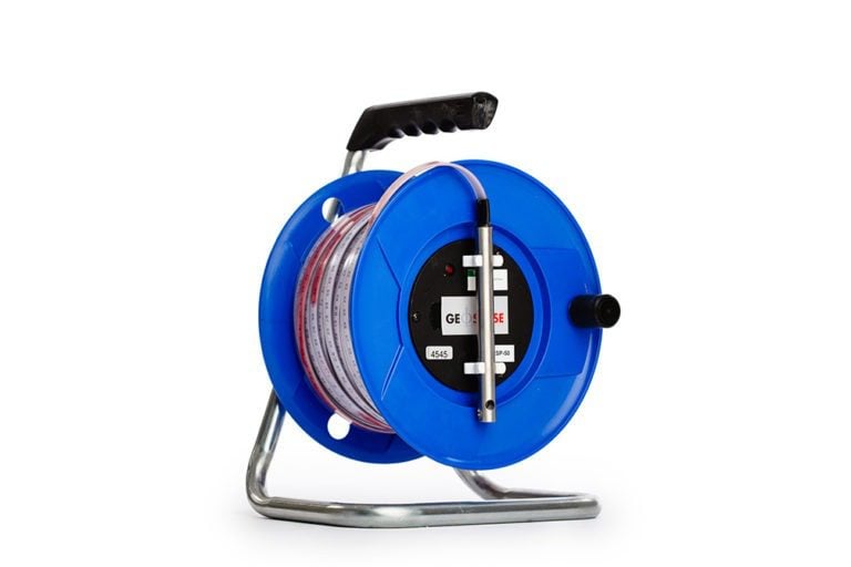
As part of ongoing investigation into the problem and to categorise various horizons within the ground, a series of Magnetic Extensometers were installed. Individual magnetic targets were installed to measure settlements at specified depths within the fill and natural ground. The position of the targets was located using a Reed Switch Probe.
From the information from the Magnetic Extensometers, engineers were able to identify and predict the ground conditions.