 JOIN GEOSHARE
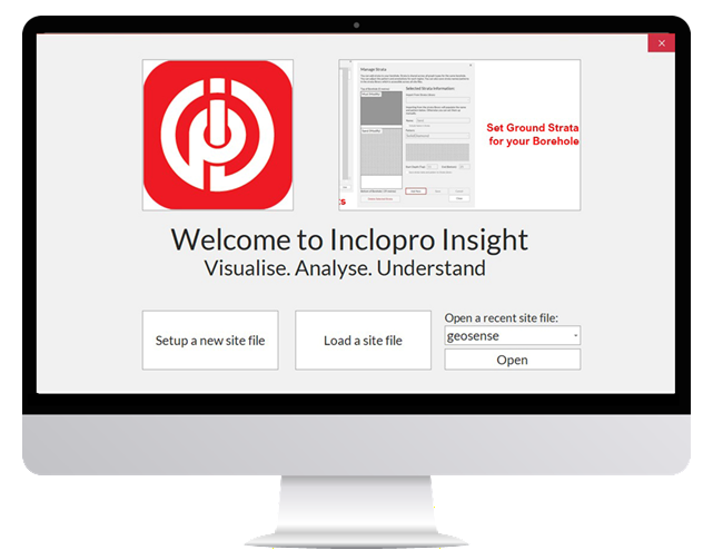
Inclopro Insight Inclinometer Visualisation Software
Inclopro Insight is a Windows desktop Geotechnical software package for use in conjunction with the Geosense Portable Inclinometer system, providing clear data handling, visualisation, alarms…
Find Out More
oxstone
Oxstone is a next-generation cloud monitoring platform built for infrastructure, construction, and environmental projects, purpose-designed to bring all your sensor data into one intuitive, real-time…
Find Out More
Site Master Software
SiteMaster is a powerful inclinometer processing and presentation software program. It can process and present all inclinometers within a project, as well as include plan…
Find Out More