JOIN GEOSHARE

Inclopro Insight Inclinometer Visualisation Software
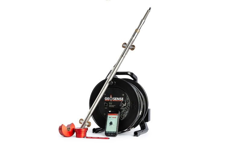
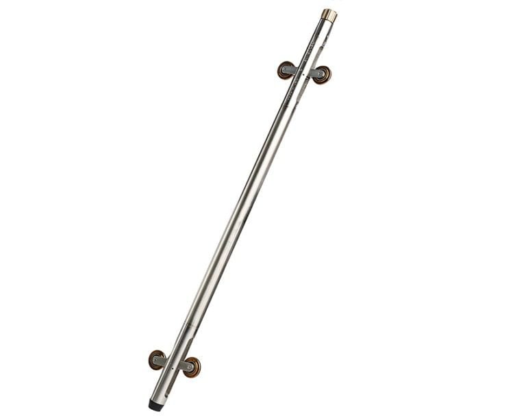
Inclopro Insight is a Windows desktop Geotechnical software package for use in conjunction with the Geosense Portable Inclinometer system, providing clear data handling, visualisation, alarms and reporting across multiple sites and boreholes. It presents movement data in a simple, intuitive format while keeping detailed fields available for deeper analysis when needed.
Built for practical daily use, it supports multi‑survey import, straightforward dataset comparison and reliable pre‑populated report generation, helping teams interpret Portable Inclinometer results with confidence and communicate monitoring data clearly throughout a project.
Downloads
 Inclo Pro Insights Software-V3.


Android app
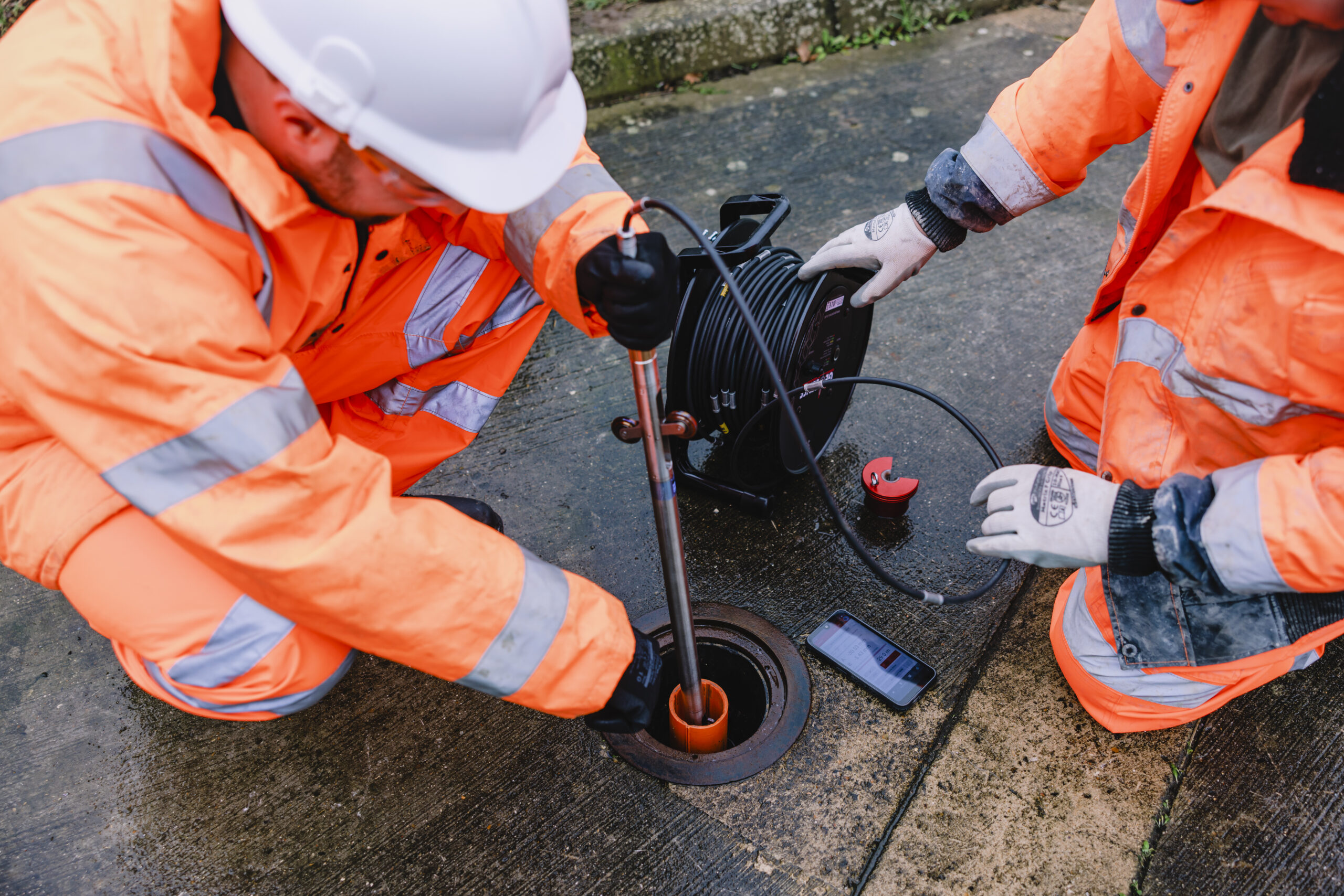
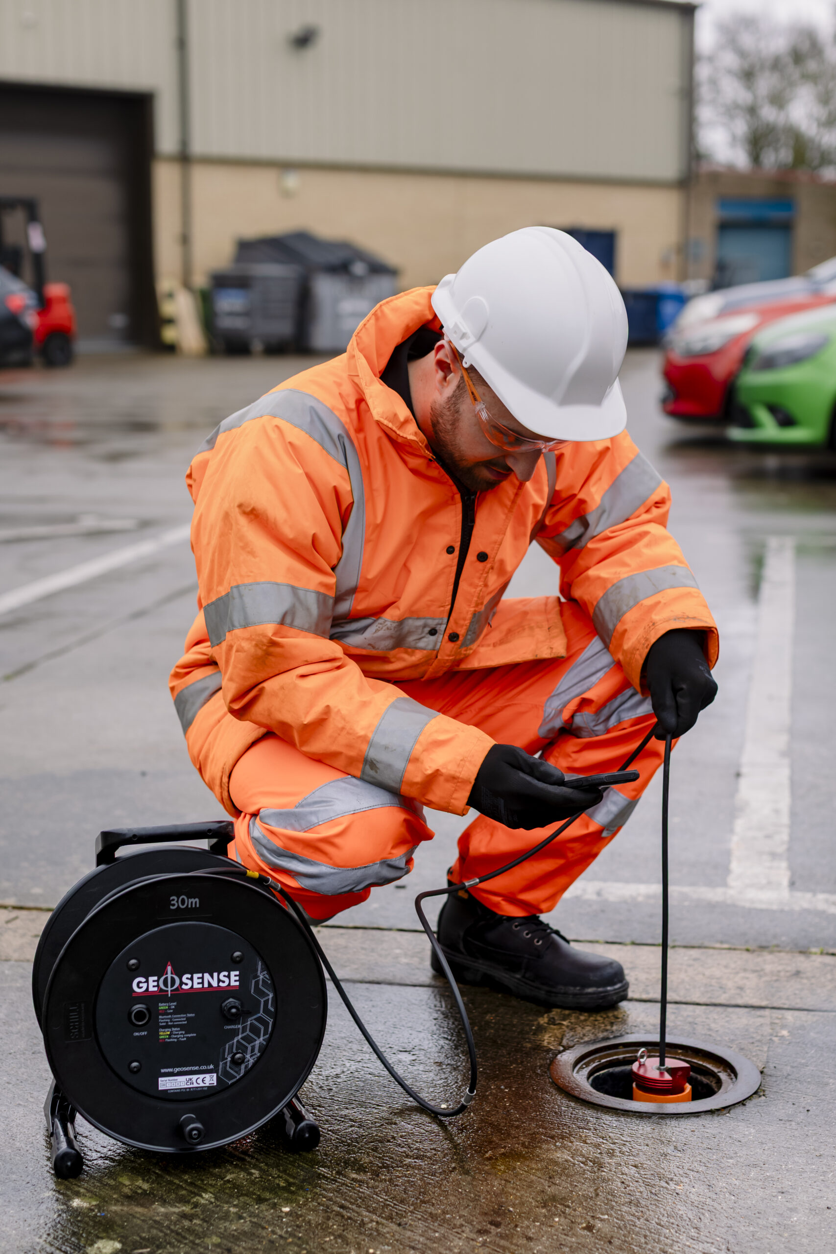
Importing surveys is streamlined, designed specifically for use with the Geosense Portable Inclinometer system and app. Alternative systems are also supported.
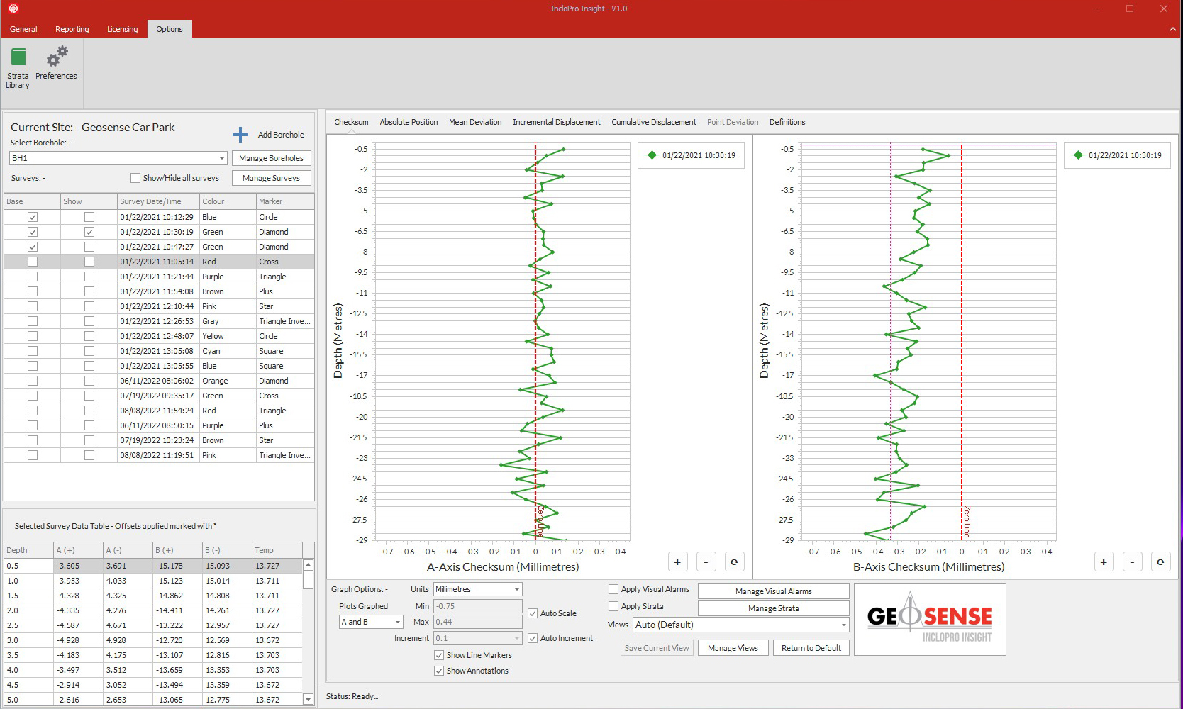
Visualise. Analyse. Understand
Inclopro Insight empowers users to visualise, analyse and understand sub-surface data with clarity and precision. Advanced graphing capabilities enable rapid correlation of datasets, identification of trends, and detection of anomalies through multiple survey overlays. Clear definitions enable the user to gain a deeper understanding and improve decision making throughout project lifecycles.
Reporting Made Easy
The integrated reporting engine enables users to rapidly generate clear, consistent, and professional monitoring reports with minimal effort. The intuitive template‑based workflow allows users to select datasets, configure charts, and apply required fields in seconds, while live previews ensure the final layout is accurate before export.
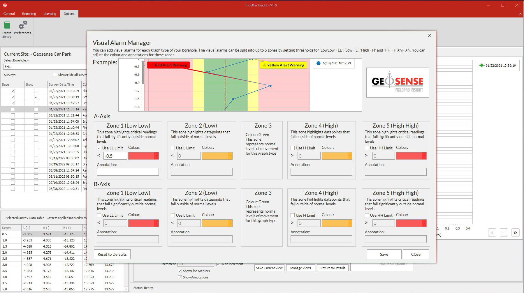
Automated population of site details, date ranges, survey selections, and graph types streamlines repetitive tasks and reduces manual editing. Optional elements such as visual alarms, status indicators, and annotations can be included with a single click, ensuring reports deliver both clarity and actionable insight.
With flexible export options and reusable templates, the reporting module transforms complex borehole and instrumentation data into polished, shareable documents that support reliable communication and informed decision‑making throughout every stage of a project.