JOIN GEOSHARE
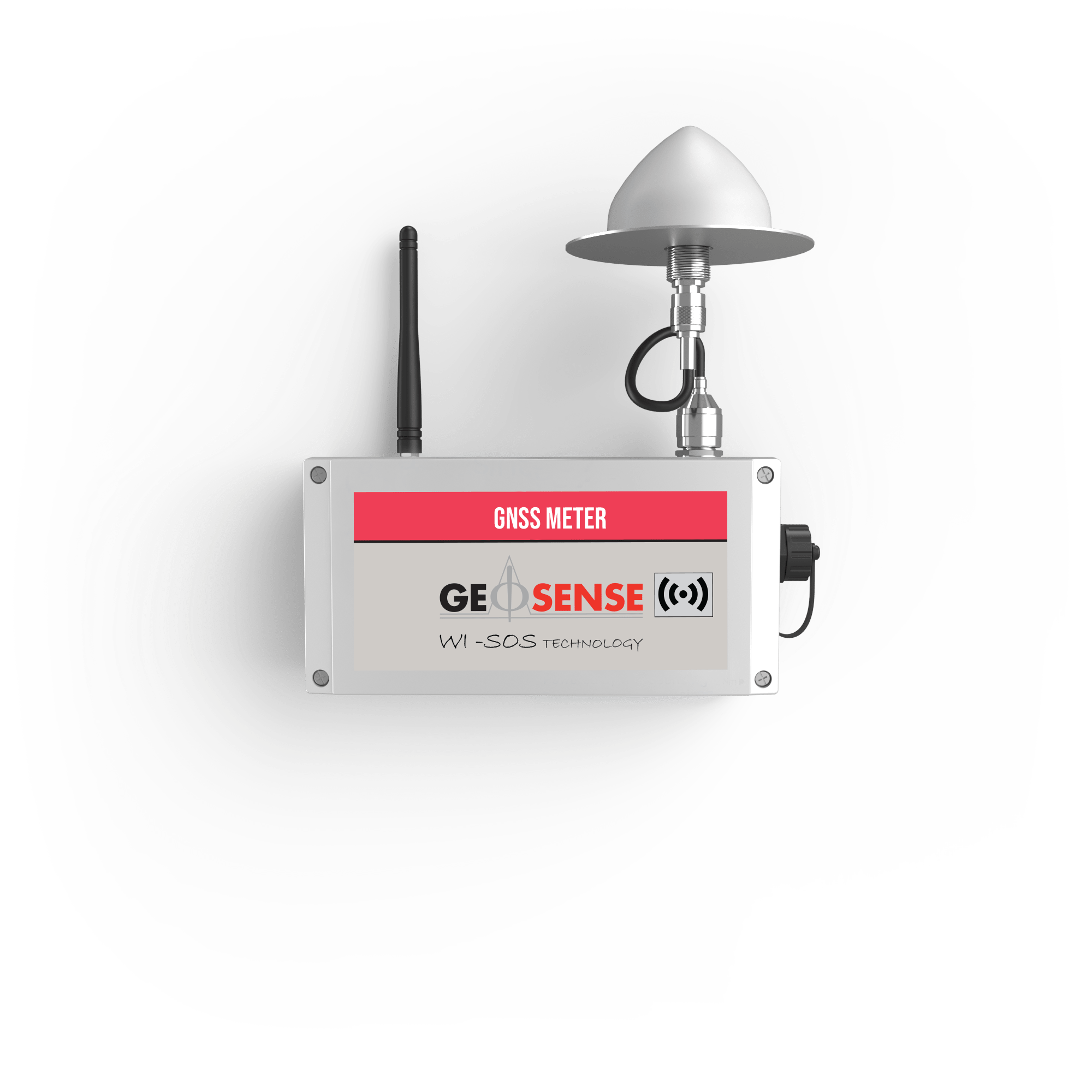

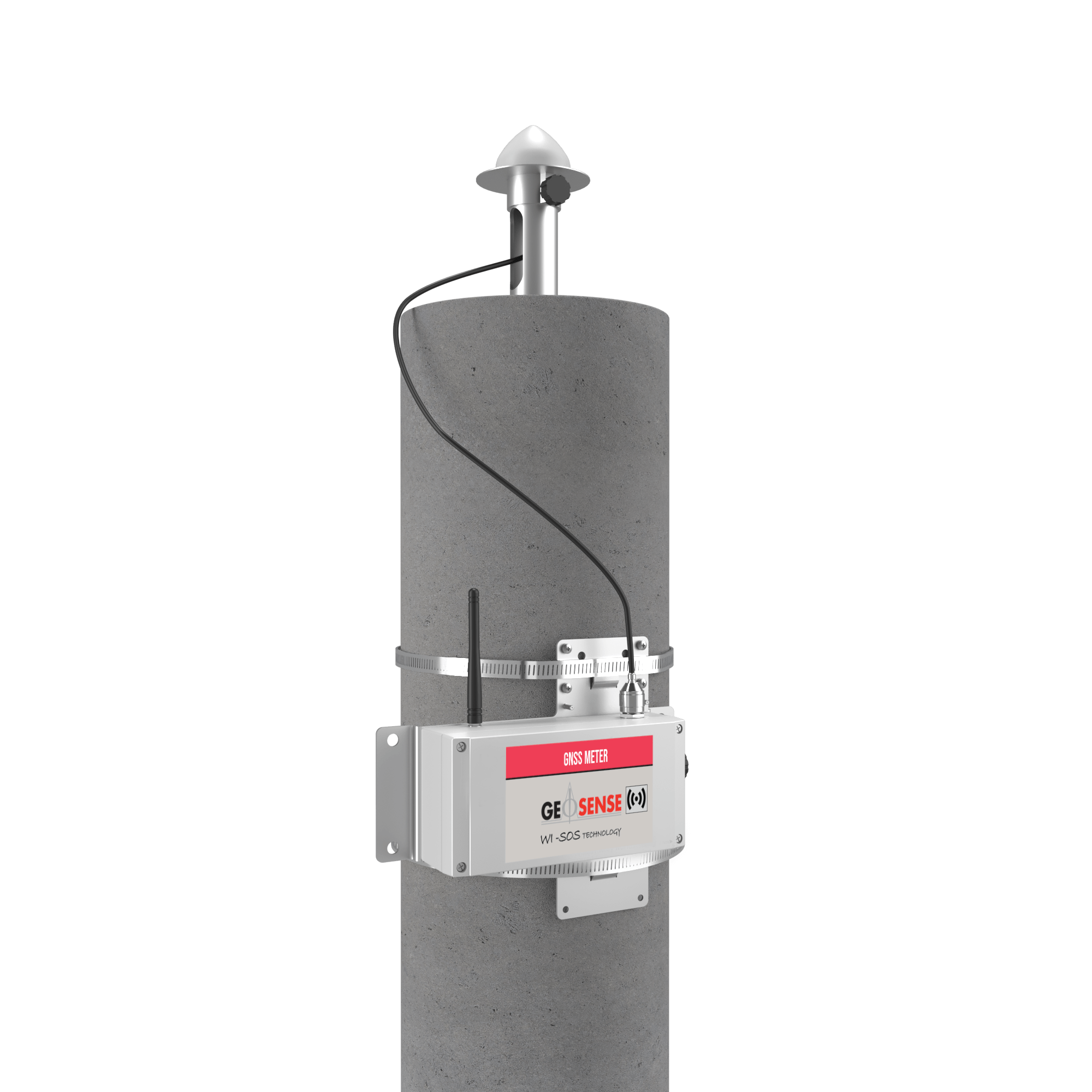


GNSS Meter
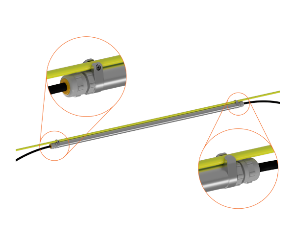
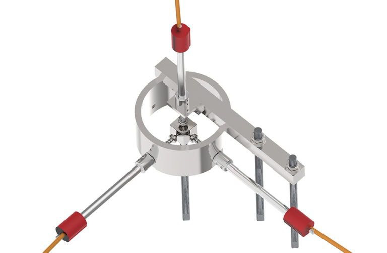
The Geosense GNSS Meter is a wireless sensor that enables precise automated measurement of surface point movements. It features advanced multi-band Real-Time Kinematic (RTK) technology and innovative edge processing that delivers millimetric precision with great reliability. Typical applications include tracking 3D ground movements for settlement, subsidence, and heave, as well as slope stability.
Downloads
Millimetric Precision – Achieves sub-centimeter precision (down to 2mm) with hourly position updates, offering two aggregation levels: 6h and 24h.
Flexible configuration options – Can function as a base or rover, with field tools for radio link testing.
Advanced edge data-processing – Position quality and system performance statistics are transmitted via radio and available in CMT.
Wireless, autonomous, low-power – Battery-powered with D-size batteries, providing over 2 years of autonomy.
Integrated Tiltmeter and environmental sensors – Measures vertical shifts in structures and provides data when RTK conditions are unavailable.
Applications
The Geosense GNSS meter tracks 3D ground movements to detect settlement, subsidence and heave and slope stability. Integrating with Wi-SOS networks for reliable data.
Settlement applications include: Tailings dams, roads, railways, levees, bridge abutments, piers, buildings, underground excavations, and soil consolidation. Combines with piezometers, extensometers, and settlement systems for comprehensive monitoring.
Subsidence and heave applications include: land reclamation projects, mining subsidence, and ground heave management combining with geospatial techniques such as InSAR or total stations.
Slope stability applications include: Monitoring landslides, open pits, and unstable slopes complementing inclinometers, piezometers (for pore water pressure), crack sensors, and tiltmeters in early warning systems. Additionally, it supports weather monitoring, including precipitation, to identify potential movement triggers.

TWO YEAR WARRANTY