JOIN GEOSHARE
From Pit Slopes to Tailings: Geotechnical Monitoring at PT Vale Indonesia
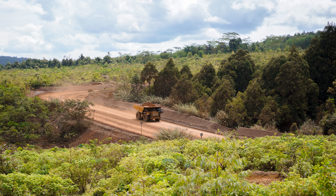
For PT Vale Indonesia (PTVI), understanding what’s happening beneath and around its mining operation is critical. From active pit slopes to tailings storage facilities, changing ground and water conditions demand reliable, continuous monitoring.
The Monitoring Challenge
Across PTVI’s Pit and Tailing areas, multiple monitoring points need to deliver dependable data in real time, giving its engineering team the visibility needed to understand changing site conditions.
But in a demanding mining environment, monitoring performance needs to be maintained over the long term. Instruments must remain reliable, while ageing or degraded equipment needs to be replaced and field issues quickly identified and resolved — all while maintaining data continuity and minimising monitoring gaps.
The challenge was therefore not simply to deploy instrumentation, but to support a reliable, connected monitoring programme capable of evolving with PTVI’s operation.


The Geosense Solution
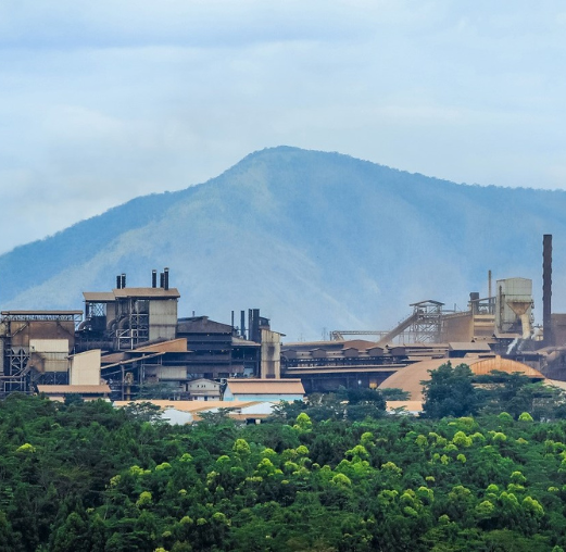
Since 2023, dozens of Geosense instruments have been supplied and deployed across PTVI’s Sorowako operation, working alongside our local instrumentation partner, PT Telematika Asset Monitoring (TeAM).
Designed to support monitoring across both Pit and Tailing areas, the Geosense solution brings together a range of proven instrumentation to measure the ground, water and structural conditions that matter.
Monitoring Ground Movement
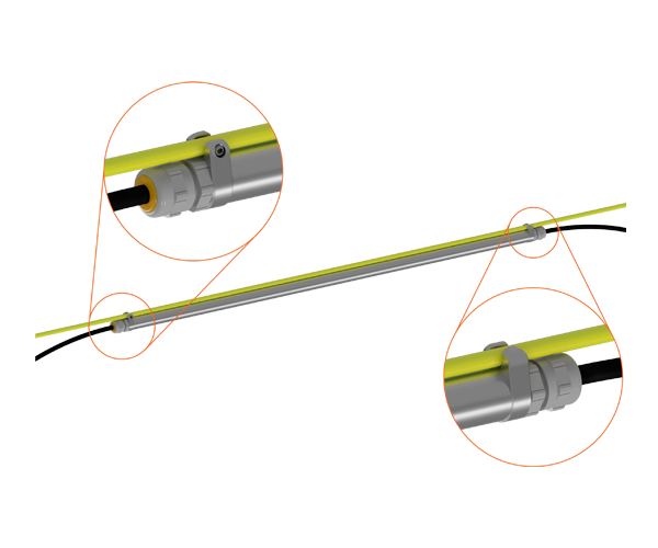
In-Place Inclinometers (IPIs) provide continuous monitoring of subsurface ground movement and deformation, helping PTVI’s engineering team understand changes in pit slope behaviour and stability.

Monitoring Groundwater Conditions
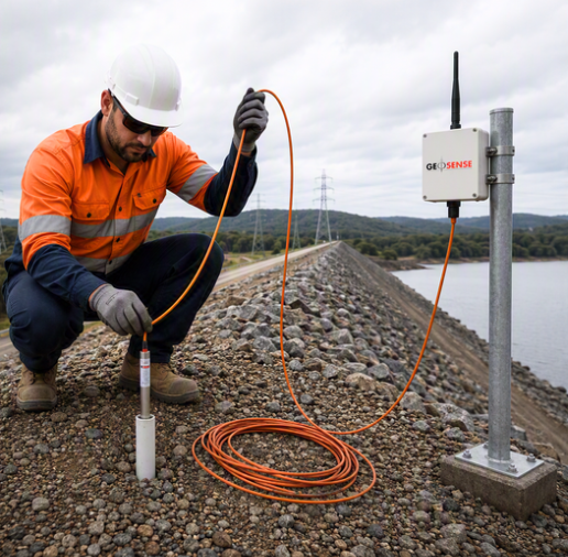
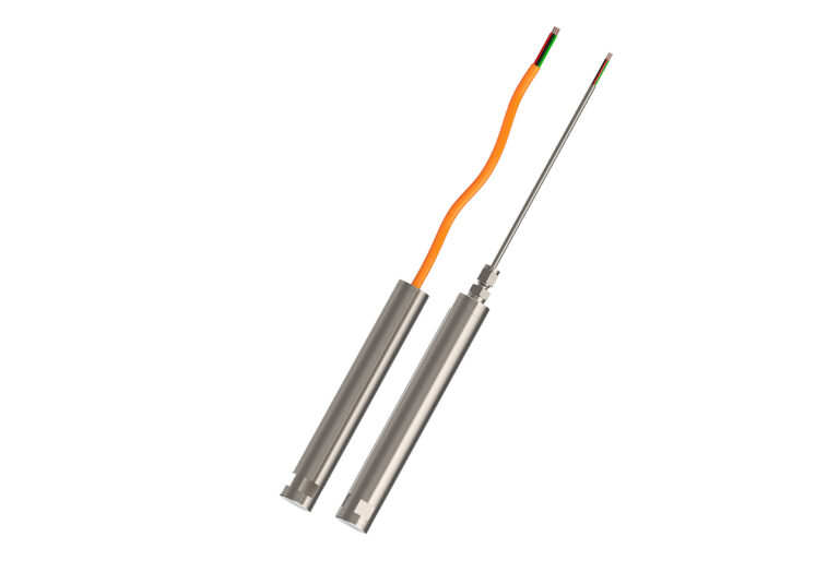
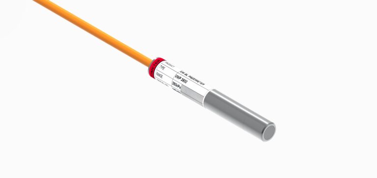
Vibrating Wire Piezometers measure pore water pressure and groundwater conditions, providing valuable data on changes in subsurface water conditions across the operation.
Monitoring Water Levels
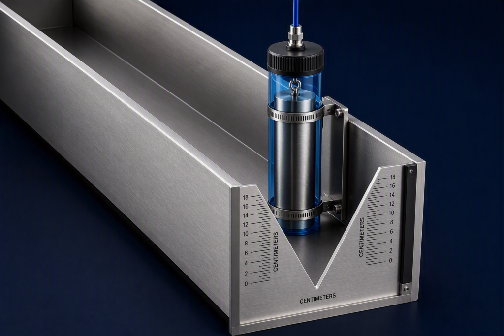
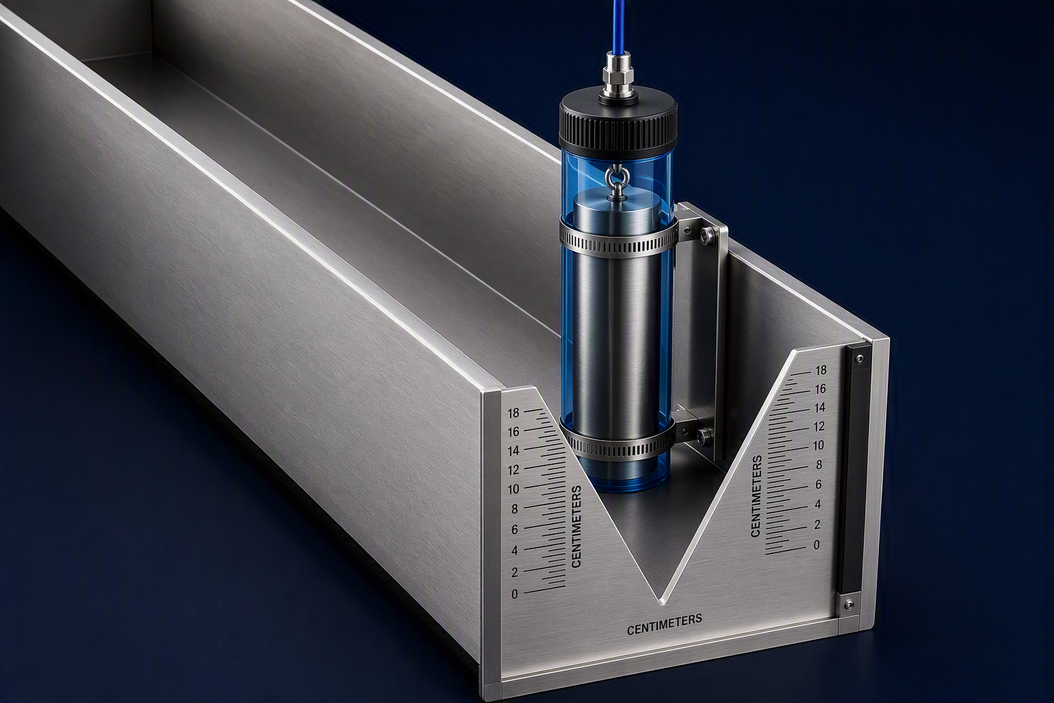
The VWM-2000 Weir Monitor provides precise measurement of water level changes in weirs and open channels, supporting monitoring and water management requirements.
Monitoring Pressure
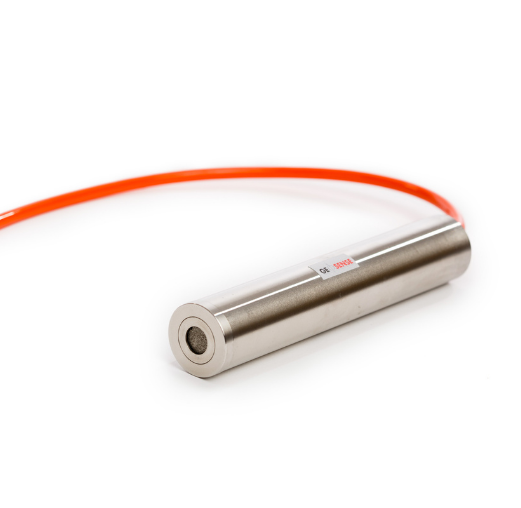
Strain Gauge Piezometers provide pressure measurement for geotechnical monitoring applications across the site.
Together, these instruments provide PTVI with a versatile monitoring solution covering multiple geotechnical parameters across its mining operation.
Integrated Telemetry
Connecting instrumentation to the wider monitoring system is key to keeping data flowing. At PTVI, the deployed geotechnical sensors are integrated into a unified telemetry ecosystem, using client-owned loggers and networks to enable secure, real-time data transmission.
This connected approach supports continuous monitoring and reliable access to monitoring data, helping PTVI’s engineering team maintain visibility across critical areas of the operation.
Installation, Maintenance & Technical Support
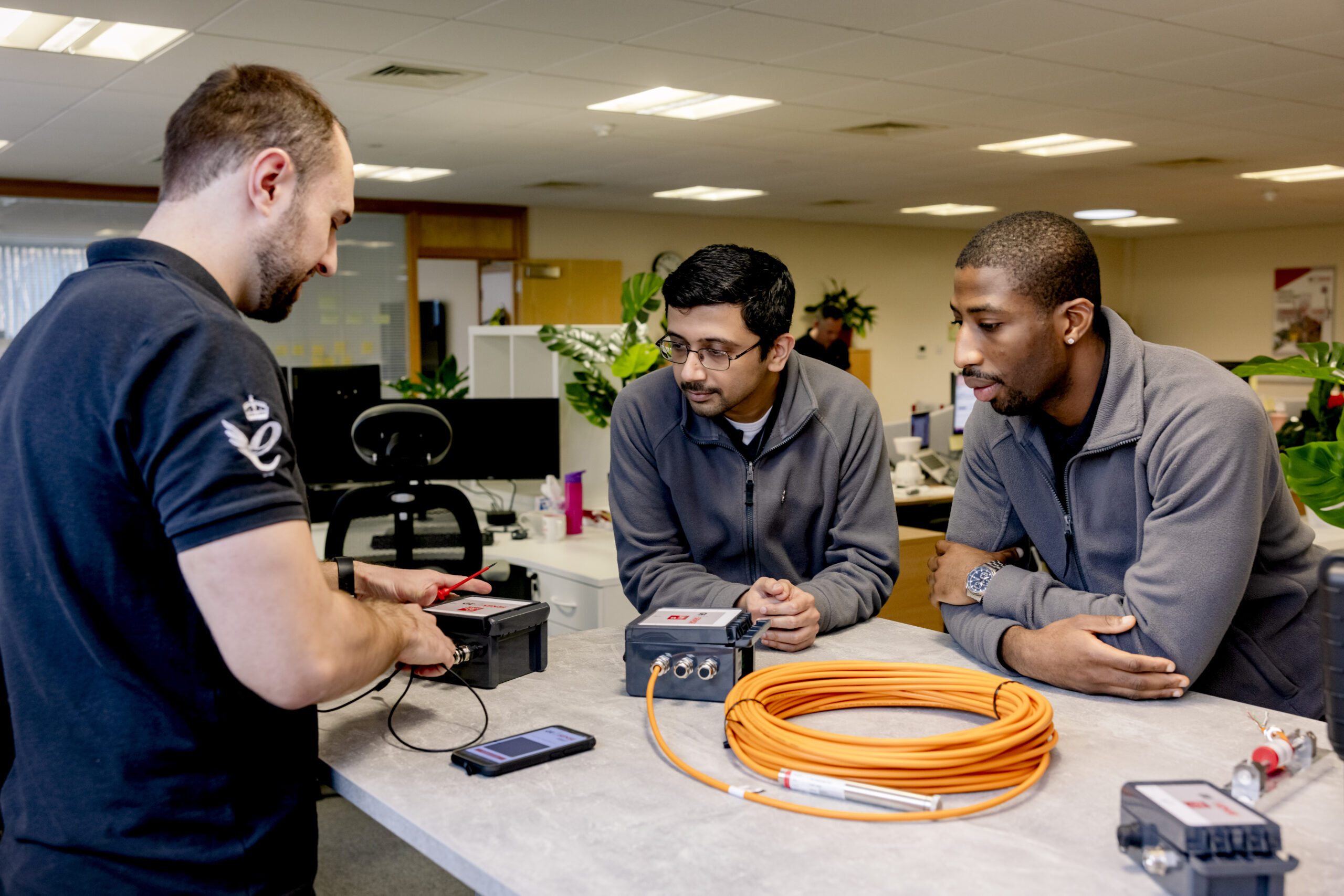
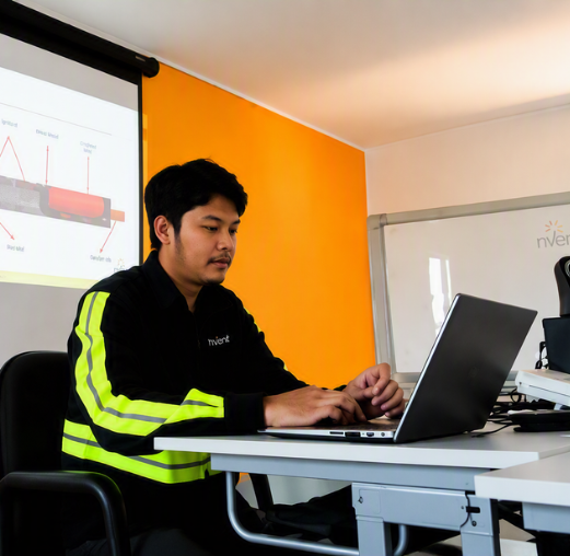
A successful monitoring programme goes beyond the initial installation. Throughout the ongoing PTVI programme, Geosense instrumentation has been supported with hands-on technical expertise across installation, maintenance, troubleshooting and training.
Installation & Commissioning
Geosense instruments, including In-Place Inclinometers and piezometers, have been deployed across PTVI’s pit and tailings areas, with installation and commissioning focused on precise physical placement and immediate field readiness.
Instrument Replacement & Upgrades
As part of the ongoing programme, legacy or degraded instrumentation has been replaced and upgraded, helping maintain data integrity and prevent monitoring gaps in demanding field environments.
Repair & Troubleshooting
Field support has been provided to diagnose, repair and restore instrumentation and data connectivity issues, helping maintain the performance of the monitoring system.
Training & Knowledge Transfer
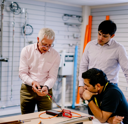
Hands-on training has been delivered to PTVI’s field and geotechnical engineers, covering troubleshooting, calibration and routine maintenance to build in-house knowledge and support greater operational self-sufficiency.
The Result
For PTVI, the result is greater visibility, reliable data and stronger control over critical geotechnical conditions across its Pit and Tailing areas.
Continuous monitoring of ground movement, groundwater, water levels and pressure provides the insight needed to understand changing conditions and support faster, more informed decisions.
Combined with real-time data transmission and ongoing technical support, the Geosense solution provides a reliable foundation for long-term monitoring, helping maintain data continuity, mitigate geotechnical risk and support safer, more resilient mining operations.
Planning your next monitoring project?
If you’re looking to improve visibility of ground conditions, reduce manual monitoring or automate data collection, contact the team to discuss your requirements and we can help you find the right monitoring approach for your project.
TALK TO OUR TEAM
Page Contents
Share this article